 SEA PEARL J
Current Status
Where is the vessel?
SEA PEARL J is currently in Near Quebracho/San Lorenzo, based on AIS data received about 15h ago.
Latest AIS update:
Current position: 32.65667° S, 60.72500° W (Near Quebracho/San Lorenzo)
Average speed (last 7 days): Loading…
Average speed (last 30 days): Loading…
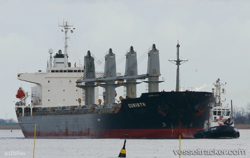
Vessel profile: SEA PEARL J is a Multi Purpose Carrier with dimensions 177m x 30m.
This page combines live AIS, route history, probable destination signals, nearby traffic, and port activity for practical vessel monitoring.
The current position of vessel SEA PEARL J is -32.65667 lat / -60.72500 lng. Updated: 2026-05-21 04:45:11 UTCNearest reference points:
- Near Quebracho/San Lorenzo
- Near Puerto Alumbrera
- 10 nm NW of San Pedro
Currently sailing under the flag of Barbados ![]()
SEA PEARL J built in 2002 year
Deadweight:
31842 tDetails:
Live Vessel SEA PEARL J Analytics (details, animations, etc.)
Recent AIS points (UTC):
2026-05-21 01:57:11 UTC · -32.65667, -60.72500 · SOG 0 kn · COG -1°2026-05-21 02:00:12 UTC · -32.65667, -60.72500 · SOG 0 kn · COG -1°
2026-05-21 04:09:12 UTC · -32.65667, -60.72500 · SOG 0 kn · COG -1°
2026-05-21 04:45:11 UTC · -32.65667, -60.72500 · SOG 0 kn · COG -1°