 vesseltracker.com
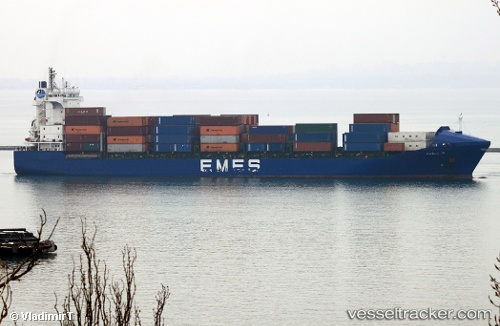
 Karla A
Current Status
Where is the vessel?
Karla A is currently in 26 nm S of Gibraltar, based on AIS data received less than 1h ago.
Latest AIS update:
Current position: 35.70326° N, 6.42190° W (26 nm S of Gibraltar)
Average speed (last 7 days): Loading…
Average speed (last 30 days): Loading…
Vessel profile: Karla A is a Container Ship with dimensions 155m x 24m.
This page combines live AIS, route history, probable destination signals, nearby traffic, and port activity for practical vessel monitoring.
The current position of vessel Karla A is 35.70326 lat / -6.42190 lng. Updated: 2026-05-15 03:45:52 UTCNearest reference points:
- Near Gibraltar
- Near Conil de la Frontera
- Near Cadiz
Currently sailing under the flag of Turkey ![]()
Karla A built in 2004 year
Deadweight:
17264 tDetails:
Live Vessel Karla A Analytics (details, animations, etc.)
Recent AIS points (UTC):
2026-05-14 22:57:49 UTC · 35.87979, -5.53233 · SOG 6.1 kn · COG 14°2026-05-14 23:47:19 UTC · 35.95223, -5.60097 · SOG 13.3 kn · COG 268°
2026-05-15 01:14:19 UTC · 35.90772, -5.96392 · SOG 12.5 kn · COG 239°
2026-05-15 03:45:52 UTC · 35.70326, -6.42190 · SOG 13 kn · COG 245°