 Mona Lisa
Current Status
Where is the vessel?
Mona Lisa is currently in 28 nm SE of Mombasa, based on AIS data received about 14h ago.
Latest AIS update:
Current position: 4.28715° S, 40.09150° E (28 nm SE of Mombasa)
Average speed (last 7 days): Loading…
Average speed (last 30 days): Loading…
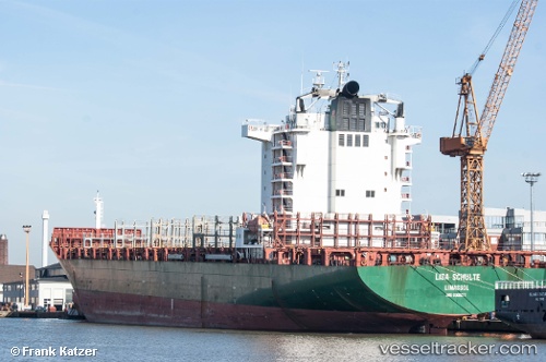
Vessel profile: Mona Lisa is a Container Ship with dimensions 230m x 32m.
This page combines live AIS, route history, probable destination signals, nearby traffic, and port activity for practical vessel monitoring.
The current position of vessel Mona Lisa is -4.28715 lat / 40.09150 lng. Updated: 2026-05-21 01:21:35 UTCNearest reference points:
- 11 nm SE of Mombasa
- Near Mombasa
Currently sailing under the flag of Liberia ![]()
Mona Lisa built in 2006 year
Deadweight:
42102 tDetails:
Live Vessel Mona Lisa Analytics (details, animations, etc.)
Recent AIS points (UTC):
2026-05-20 21:44:12 UTC · -4.26475, 40.05308 · SOG 3.5 kn · COG 264°2026-05-20 22:46:51 UTC · -4.20825, 40.03591 · SOG 3.5 kn · COG 262°
2026-05-21 00:27:44 UTC · -4.17430, 40.03101 · SOG 8.2 kn · COG 164°
2026-05-21 01:21:35 UTC · -4.28715, 40.09150 · SOG 10.2 kn · COG 154°