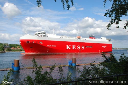
 Danube Highway
Current Status
Where is the vessel?
Danube Highway is currently in Near Borkum, based on AIS data received about 14h ago.
Latest AIS update:
Current position: 53.56038° N, 6.66706° E (Near Borkum)
Average speed (last 7 days): Loading…
Average speed (last 30 days): Loading…
Vessel profile: Danube Highway is a Vehicles Carrier with dimensions 148m x 148m.
This page combines live AIS, route history, probable destination signals, nearby traffic, and port activity for practical vessel monitoring.
The current position of vessel Danube Highway is 53.56038 lat / 6.66706 lng. Updated: 2026-06-16 19:01:48 UTCNearest reference points:
- Near Borkum
- Near APPINGEDAM
- Near GRONINGEN
Currently sailing under the flag of Bahamas ![]()
Danube Highway built in 2006 year
Deadweight:
7788 tDetails:
Live Vessel Danube Highway Analytics (details, animations, etc.)
Recent AIS points (UTC):
2026-06-16 16:32:46 UTC · 53.60460, 5.76631 · SOG 13.3 kn · COG 84°2026-06-16 16:36:15 UTC · 53.60557, 5.78808 · SOG 13.5 kn · COG 84°
2026-06-16 17:37:07 UTC · 53.61280, 6.14226 · SOG 12 kn · COG 89°
2026-06-16 19:01:48 UTC · 53.56038, 6.66706 · SOG 15.4 kn · COG 125°