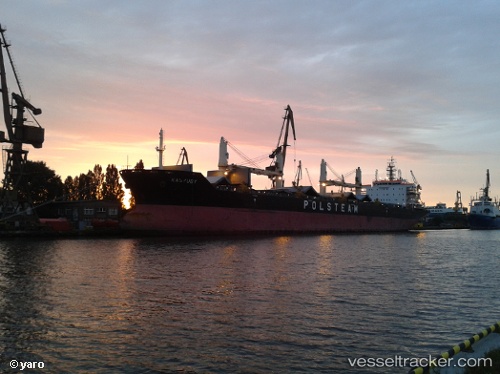
 Kaszuby
Current Status
Where is the vessel?
Kaszuby is currently in 30 nm E of Cairu, based on AIS data received about 18h ago.
Latest AIS update:
Current position: 13.54565° S, 38.52989° W (30 nm E of Cairu)
Average speed (last 7 days): Loading…
Average speed (last 30 days): Loading…
Vessel profile: Kaszuby is a Bulk Carrier with dimensions 190m x 29m.
This page combines live AIS, route history, probable destination signals, nearby traffic, and port activity for practical vessel monitoring.
The current position of vessel Kaszuby is -13.54565 lat / -38.52989 lng. Updated: 2026-05-20 08:50:30 UTCCurrently sailing under the flag of Bahamas ![]()
Kaszuby built in 2008 year
Deadweight:
37965 tDetails:
Live Vessel Kaszuby Analytics (details, animations, etc.)
Recent AIS points (UTC):
2026-05-20 07:59:11 UTC · -13.39431, -38.55477 · SOG 10.6 kn · COG 169°2026-05-20 08:50:30 UTC · -13.54565, -38.52989 · SOG 11 kn · COG 171°
2026-05-20 08:50:30 UTC · -13.54565, -38.52989 · SOG 11 kn · COG 171°
2026-05-20 08:50:30 UTC · -13.54565, -38.52989 · SOG 11 kn · COG 171°