Syn Turais
Current StatusWhere is the vessel?
Syn Turais is currently in 12 nm SE of Gibraltar, based on AIS data received about 14h ago.
Latest AIS update:
Current position: 35.97572° N, 6.20285° W (12 nm SE of Gibraltar)
Average speed (last 7 days): Loading…
Average speed (last 30 days): Loading…
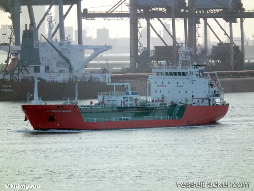
Vessel profile: Syn Turais is a Lpg Tanker with dimensions 16m x 95m.
This page combines live AIS, route history, probable destination signals, nearby traffic, and port activity for practical vessel monitoring.
The current position of vessel Syn Turais is 35.97572 lat / -6.20285 lng. Updated: 2026-05-22 07:28:18 UTCNearest reference points:
- Near Gibraltar
- Near Conil de la Frontera
- Near Cadiz
Details:
Live Vessel Syn Turais Analytics (details, animations, etc.)
Recent AIS points (UTC):
2026-05-22 03:56:51 UTC · 36.03385, -5.30760 · SOG 10.1 kn · COG 258°2026-05-22 04:27:02 UTC · 36.00907, -5.41033 · SOG 11 kn · COG 256°
2026-05-22 05:52:06 UTC · 35.96385, -5.77145 · SOG 15.4 kn · COG 270°
2026-05-22 07:28:18 UTC · 35.97572, -6.20285 · SOG 12.5 kn · COG 272°