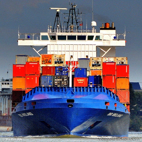
 Bg Ireland
Current Status
Where is the vessel?
Bg Ireland is currently in Near Maassluis, based on AIS data received about 15h ago.
Latest AIS update:
Current position: 51.91093° N, 4.24961° E (Near Maassluis)
Average speed (last 7 days): Loading…
Average speed (last 30 days): Loading…
Vessel profile: Bg Ireland is a Container Ship with dimensions 140m x 22m.
This page combines live AIS, route history, probable destination signals, nearby traffic, and port activity for practical vessel monitoring.
The current position of vessel Bg Ireland is 51.91093 lat / 4.24961 lng. Updated: 2026-07-05 05:51:23 UTCNearest reference points:
- Near Maassluis
- Near Zwartewaal
- Near Botlek
Currently sailing under the flag of Cyprus ![]()
Bg Ireland built in 2007 year
Deadweight:
11177 tDetails:
Live Vessel Bg Ireland Analytics (details, animations, etc.)
Recent AIS points (UTC):
2026-07-05 02:02:08 UTC · 51.95816, 4.04685 · SOG 0.1 kn · COG 84°2026-07-05 04:00:07 UTC · 51.95817, 4.04690 · SOG 0.1 kn · COG 83°
2026-07-05 04:33:23 UTC · 51.95816, 4.04685 · SOG 0 kn · COG 83°
2026-07-05 05:51:23 UTC · 51.91093, 4.24961 · SOG 11.9 kn · COG 120°