 PETREL S
Current Status
Where is the vessel?
PETREL S is currently in Near TUZLA, based on AIS data received about 14h ago.
Latest AIS update:
Current position: 40.84092° N, 29.26277° E (Near TUZLA)
Average speed (last 7 days): Loading…
Average speed (last 30 days): Loading…
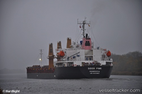
Vessel profile: PETREL S is a Bulk Carrier with dimensions 25m x 139m.
This page combines live AIS, route history, probable destination signals, nearby traffic, and port activity for practical vessel monitoring.
The current position of vessel PETREL S is 40.84092 lat / 29.26277 lng. Updated: 2026-05-21 03:50:09 UTCNearest reference points:
- Near TUZLA
- Near PENDIK
- Near Tuzla Free Zone
Currently sailing under the flag of Liberia ![]()
PETREL S built in 2006 year
Deadweight:
19101 tDetails:
Live Vessel PETREL S Analytics (details, animations, etc.)
Recent AIS points (UTC):
2026-05-21 00:20:12 UTC · 40.84085, 29.26279 · SOG 0 kn · COG -1°2026-05-21 01:02:07 UTC · 40.84087, 29.26270 · SOG 0 kn · COG -1°
2026-05-21 02:02:13 UTC · 40.84093, 29.26275 · SOG 0 kn · COG -1°
2026-05-21 03:50:09 UTC · 40.84092, 29.26277 · SOG 0 kn · COG -1°