 vesseltracker.com
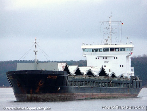
 Karewood Star
Current Status
Where is the vessel?
Karewood Star is currently in 27 nm E of San Clodio, based on AIS data received about 1h ago.
Latest AIS update:
Current position: 48.59990° N, 6.65042° W (27 nm E of San Clodio)
Average speed (last 7 days): Loading…
Average speed (last 30 days): Loading…
Vessel profile: Karewood Star is a General Cargo Ship with dimensions 127m x 127m.
This page combines live AIS, route history, probable destination signals, nearby traffic, and port activity for practical vessel monitoring.
The current position of vessel Karewood Star is 48.59990 lat / -6.65042 lng. Updated: 2026-05-15 17:33:27 UTCNearest reference points:
- 35 nm SW of Ile D’Ouessant
- 28 nm N of San Clodio
- 16 nm NW of Ile D’Ouessant
Currently sailing under the flag of Bahamas ![]()
Karewood Star built in 2007 year
Deadweight:
6355 tDetails:
Live Vessel Karewood Star Analytics (details, animations, etc.)
Recent AIS points (UTC):
2026-05-15 04:24:38 UTC · 47.26578, -7.49020 · SOG 6.4 kn · COG 18°2026-05-15 04:24:38 UTC · 47.26578, -7.49020 · SOG 6.4 kn · COG 18°
2026-05-15 16:35:01 UTC · 48.50105, -6.71696 · SOG 6.5 kn · COG 17°
2026-05-15 17:33:27 UTC · 48.59990, -6.65042 · SOG 6.6 kn · COG 16°