 Evita
Evita
Current Status
Where is the vessel?
Evita is currently in Near Porto Nogaro, based on AIS data received about 14h ago.
Latest AIS update:
Current position: 45.79372° N, 13.23131° E (Near Porto Nogaro)
Average speed (last 7 days): Loading…
Average speed (last 30 days): Loading…
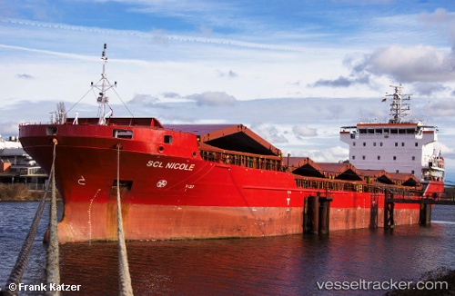
Vessel profile: Evita is a Multi Purpose Carrier with dimensions 108m x 108m.
This page combines live AIS, route history, probable destination signals, nearby traffic, and port activity for practical vessel monitoring.
The current position of vessel Evita is 45.79372 lat / 13.23131 lng. Updated: 2026-05-20 13:48:01 UTCNearest reference points:
- Near Porto Nogaro
- Near Lignano Sabbiadoro
- Near Grado
Currently sailing under the flag of Portugal ![]()
Evita built in 2009 year
Deadweight:
7678 tDetails:
Live Vessel Evita Analytics (details, animations, etc.)
Recent AIS points (UTC):
2026-05-20 10:26:52 UTC · 45.79370, 13.23127 · SOG 0 kn · COG 161°2026-05-20 11:50:54 UTC · 45.79371, 13.23116 · SOG 0 kn · COG 160°
2026-05-20 13:23:56 UTC · 45.79367, 13.23128 · SOG 0 kn · COG 160°
2026-05-20 13:48:01 UTC · 45.79372, 13.23131 · SOG 0 kn · COG 160°