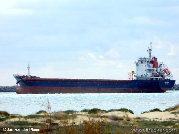
 ORUBA
ORUBA
Current Status
Where is the vessel?
ORUBA is currently in 15 nm S of Punta Umbría, based on AIS data received about 14h ago.
Latest AIS update:
Current position: 36.92443° N, 6.89434° W (15 nm S of Punta Umbría)
Average speed (last 7 days): Loading…
Average speed (last 30 days): Loading…
Vessel profile: ORUBA is a General Cargo Ship with dimensions 132m x 19m.
This page combines live AIS, route history, probable destination signals, nearby traffic, and port activity for practical vessel monitoring.
The current position of vessel ORUBA is 36.92443 lat / -6.89434 lng. Updated: 2026-07-08 14:22:04 UTCNearest reference points:
- Near Punta Umbría
- Near La Antilla
- Near CHIPIONA
Currently sailing under the flag of Liberia ![]()
ORUBA built in 2007 year
Deadweight:
10611 tDetails:
Live Vessel ORUBA Analytics (details, animations, etc.)
Recent AIS points (UTC):
2026-07-08 11:43:00 UTC · 36.92456, -6.89420 · SOG 0.1 kn · COG 197°2026-07-08 11:45:59 UTC · 36.92449, -6.89413 · SOG 0.3 kn · COG 204°
2026-07-08 12:55:01 UTC · 36.92426, -6.89389 · SOG 0.2 kn · COG 218°
2026-07-08 14:22:04 UTC · 36.92443, -6.89434 · SOG 0.1 kn · COG 198°