 Manas
Manas
Current Status
Where is the vessel?
Manas is currently in 75 nm SW of Sagres, based on AIS data received about 14h ago.
Latest AIS update:
Current position: 36.28884° N, 10.20465° W (75 nm SW of Sagres)
Average speed (last 7 days): Loading…
Average speed (last 30 days): Loading…
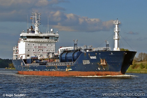
Vessel profile: Manas is a Chemical Oil Products Tanker with dimensions 132m x 19m.
This page combines live AIS, route history, probable destination signals, nearby traffic, and port activity for practical vessel monitoring.
The current position of vessel Manas is 36.28884 lat / -10.20465 lng. Updated: 2026-05-20 01:42:24 UTCNearest reference points:
- 54 nm W of Sagres
- 31 nm SW of Sagres
- 18 nm S of Sagres
Currently sailing under the flag of Malta ![]()
Manas built in 2008 year
Deadweight:
10744 tDetails:
Live Vessel Manas Analytics (details, animations, etc.)
Recent AIS points (UTC):
2026-05-19 23:05:28 UTC · 36.19050, -9.43800 · SOG 14.4 kn · COG 277°2026-05-20 00:09:27 UTC · 36.23921, -9.74524 · SOG 14.5 kn · COG -1°
2026-05-20 01:07:21 UTC · 36.27067, -10.03217 · SOG 14.3 kn · COG -1°
2026-05-20 01:42:24 UTC · 36.28884, -10.20465 · SOG 14.3 kn · COG -1°