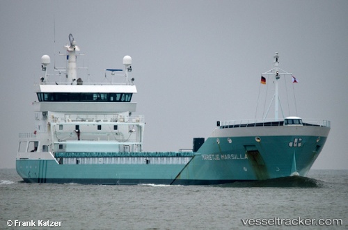
 Marietje Marsilla
Current Status
Where is the vessel?
Marietje Marsilla is currently in 13 nm NW of HANSTHOLM, based on AIS data received about 14h ago.
Latest AIS update:
Current position: 57.31508° N, 8.42755° E (13 nm NW of HANSTHOLM)
Average speed (last 7 days): Loading…
Average speed (last 30 days): Loading…
Vessel profile: Marietje Marsilla is a General Cargo Ship with dimensions 126m x 126m.
This page combines live AIS, route history, probable destination signals, nearby traffic, and port activity for practical vessel monitoring.
The current position of vessel Marietje Marsilla is 57.31508 lat / 8.42755 lng. Updated: 2026-05-20 16:25:51 UTCNearest reference points:
- Near HANSTHOLM
- 27 nm N of HANSTHOLM
- Near Thyborøn
Currently sailing under the flag of Netherlands ![]()
Marietje Marsilla built in 2010 year
Deadweight:
8334 tDetails:
Live Vessel Marietje Marsilla Analytics (details, animations, etc.)
Recent AIS points (UTC):
2026-05-20 13:25:42 UTC · 56.98809, 8.07283 · SOG 7.7 kn · COG 26°2026-05-20 13:52:01 UTC · 57.03621, 8.12839 · SOG 7.6 kn · COG 31°
2026-05-20 16:25:21 UTC · 57.31419, 8.42674 · SOG 7.3 kn · COG 26°
2026-05-20 16:25:51 UTC · 57.31508, 8.42755 · SOG 7.3 kn · COG 28°