 FLAMURI
Current Status
Where is the vessel?
FLAMURI is currently in 44 nm SW of Methoni, based on AIS data received about 14h ago.
Latest AIS update:
Current position: 36.39500° N, 20.96833° E (44 nm SW of Methoni)
Average speed (last 7 days): Loading…
Average speed (last 30 days): Loading…
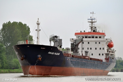
Vessel profile: FLAMURI is a General Cargo Ship with dimensions 129m x 18m.
This page combines live AIS, route history, probable destination signals, nearby traffic, and port activity for practical vessel monitoring.
The current position of vessel FLAMURI is 36.39500 lat / 20.96833 lng. Updated: 2026-07-14 01:59:37 UTCNearest reference points:
- 23 nm S of Methoni
- 17 nm S of Areópolis
- Near Káto Achaïa
Currently sailing under the flag of Liberia ![]()
FLAMURI built in 2008 year
Deadweight:
8500 tDetails:
Live Vessel FLAMURI Analytics (details, animations, etc.)
Recent AIS points (UTC):
2026-07-13 23:00:19 UTC · 36.37657, 21.52927 · SOG 9.1 kn · COG 277°2026-07-13 23:22:18 UTC · 36.37923, 21.45995 · SOG 9 kn · COG 275°
2026-07-14 01:38:37 UTC · 36.39167, 21.03333 · SOG 9 kn · COG -1°
2026-07-14 01:59:37 UTC · 36.39500, 20.96833 · SOG 9 kn · COG -1°