 Bluefish
Current Status
Where is the vessel?
Bluefish is currently in Near Iskenderun, based on AIS data received about 14h ago.
Latest AIS update:
Current position: 36.60841° N, 36.16845° E (Near Iskenderun)
Average speed (last 7 days): Loading…
Average speed (last 30 days): Loading…
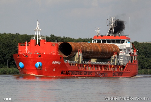
Vessel profile: Bluefish is a Multi Purpose Carrier with dimensions m x 90m.
This page combines live AIS, route history, probable destination signals, nearby traffic, and port activity for practical vessel monitoring.
The current position of vessel Bluefish is 36.60841 lat / 36.16845 lng. Updated: 2026-05-20 16:11:40 UTCNearest reference points:
- Near Iskenderun
- Near DORTYOL
- 13 nm W of Iskenderun
Currently sailing under the flag of Panama ![]()
Bluefish built in 2010 year
Deadweight:
4709 tDetails:
Live Vessel Bluefish Analytics (details, animations, etc.)
Recent AIS points (UTC):
2026-05-20 13:04:51 UTC · 36.60782, 36.16807 · SOG 0 kn · COG 320°2026-05-20 13:47:36 UTC · 36.60816, 36.16834 · SOG 0.2 kn · COG 298°
2026-05-20 15:53:40 UTC · 36.60852, 36.16845 · SOG 0.3 kn · COG 269°
2026-05-20 16:11:40 UTC · 36.60841, 36.16845 · SOG 0 kn · COG 278°