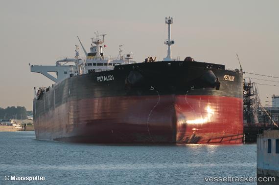
 PETALIDI
Current Status
Where is the vessel?
PETALIDI is currently in 78 nm E of Fleming, based on AIS data received about 15h ago.
Latest AIS update:
Current position: 30.84389° N, 79.59565° W (78 nm E of Fleming)
Average speed (last 7 days): Loading…
Average speed (last 30 days): Loading…
Vessel profile: PETALIDI is a Crude Oil Tanker with dimensions 48m x 274m.
This page combines live AIS, route history, probable destination signals, nearby traffic, and port activity for practical vessel monitoring.
The current position of vessel PETALIDI is 30.84389 lat / -79.59565 lng. Updated: 2026-05-22 19:14:13 UTCNearest reference points:
- 33 nm S of Kiawah Island
- Near Fernandina
- Near Saint Andrews
Currently sailing under the flag of Liberia ![]()
PETALIDI built in 2012 year
Deadweight:
158532 tDetails:
Live Vessel PETALIDI Analytics (details, animations, etc.)
Recent AIS points (UTC):
2026-05-22 16:19:01 UTC · 30.18161, -79.77468 · SOG 14.3 kn · COG -1°2026-05-22 17:02:59 UTC · 30.36333, -79.74239 · SOG 14.2 kn · COG 9°
2026-05-22 19:14:13 UTC · 30.84389, -79.59565 · SOG 13.6 kn · COG 35°
2026-05-22 19:14:13 UTC · 30.84389, -79.59565 · SOG 13.6 kn · COG 35°