 vesseltracker.com
 ANITA A
Current Status
Where is the vessel?
ANITA A is currently in Near EL DEKHEILA, based on AIS data received less than 1h ago.
Latest AIS update:
Current position: 31.20107° N, 29.74787° E (Near EL DEKHEILA)
Average speed (last 7 days): Loading…
Average speed (last 30 days): Loading…
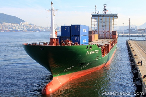
Vessel profile: ANITA A is a Container Ship with dimensions 133m x 19m.
This page combines live AIS, route history, probable destination signals, nearby traffic, and port activity for practical vessel monitoring.
The current position of vessel ANITA A is 31.20107 lat / 29.74787 lng. Updated: 2026-04-27 05:51:23 UTCNearest reference points:
- Near EL DEKHEILA
- Near Alexandria
- 13 nm W of EL DEKHEILA
Currently sailing under the flag of Liberia ![]()
ANITA A built in 2009 year
Deadweight:
8494 tDetails:
Live Vessel ANITA A Analytics (details, animations, etc.)
Recent AIS points (UTC):
2026-04-27 01:24:25 UTC · 31.20138, 29.74812 · SOG 0.2 kn · COG 294°2026-04-27 04:06:25 UTC · 31.20097, 29.74785 · SOG 0.1 kn · COG 308°
2026-04-27 04:09:22 UTC · 31.20114, 29.74797 · SOG 0.6 kn · COG 313°
2026-04-27 05:51:23 UTC · 31.20107, 29.74787 · SOG 0.1 kn · COG 300°