 IRON DUKE
Current Status
Where is the vessel?
IRON DUKE is currently in Near Dingli, based on AIS data received about 14h ago.
Latest AIS update:
Current position: 35.72917° N, 14.23163° E (Near Dingli)
Average speed (last 7 days): Loading…
Average speed (last 30 days): Loading…
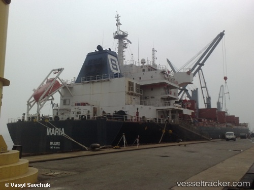
Vessel profile: IRON DUKE is a Bulk Carrier with dimensions 196m x 196m.
This page combines live AIS, route history, probable destination signals, nearby traffic, and port activity for practical vessel monitoring.
The current position of vessel IRON DUKE is 35.72917 lat / 14.23163 lng. Updated: 2026-05-20 08:08:40 UTCNearest reference points:
- Near CIRKEWWA
- Near Floriana
- Near Sliema
Currently sailing under the flag of United Kingdom ![]()
IRON DUKE built in 2011 year
Deadweight:
58407 tDetails:
Live Vessel IRON DUKE Analytics (details, animations, etc.)
Recent AIS points (UTC):
2026-05-20 04:44:18 UTC · 35.81654, 14.58410 · SOG 0 kn · COG -1°2026-05-20 06:05:24 UTC · 35.78554, 14.62829 · SOG 9 kn · COG -1°
2026-05-20 07:43:20 UTC · 35.72887, 14.31968 · SOG 10.1 kn · COG -1°
2026-05-20 08:08:40 UTC · 35.72917, 14.23163 · SOG 10.1 kn · COG -1°