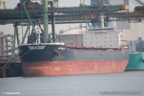
Antonia S
Current StatusWhere is the vessel?
Antonia S is currently in 35 nm SW of Libertad, based on AIS data received about 14h ago.
Latest AIS update:
Current position: 35.16540° S, 56.90700° W (35 nm SW of Libertad)
Average speed (last 7 days): Loading…
Average speed (last 30 days): Loading…
Vessel profile: Antonia S is a Bulk Carrier with dimensions 32m x 229m.
This page combines live AIS, route history, probable destination signals, nearby traffic, and port activity for practical vessel monitoring.
The current position of vessel Antonia S is -35.16540 lat / -56.90700 lng. Updated: 2026-05-21 04:11:40 UTCNearest reference points:
- 16 nm N of Cabo San Antonio
- Near JUAN LACAZE
- Near Dock Sur
Details:
Live Vessel Antonia S Analytics (details, animations, etc.)
Recent AIS points (UTC):
2026-05-20 23:26:04 UTC · -34.99139, -56.01915 · SOG 5.2 kn · COG 275°2026-05-21 01:56:16 UTC · -35.16896, -56.34117 · SOG 12.6 kn · COG 274°
2026-05-21 01:56:16 UTC · -35.16896, -56.34117 · SOG 12.6 kn · COG 274°
2026-05-21 04:11:40 UTC · -35.16540, -56.90700 · SOG 12.1 kn · COG 266°