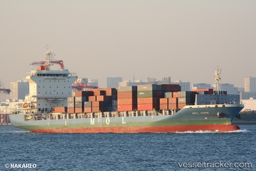
 Green Hope
Current Status
Where is the vessel?
Green Hope is currently in Near Contecar, based on AIS data received about 30d ago.
Latest AIS update:
Current position: 10.37802° N, 75.51103° W (Near Contecar)
Average speed (last 7 days): Loading…
Average speed (last 30 days): Loading…
Vessel profile: Green Hope is a Container Ship with dimensions 172m x 172m.
This page combines live AIS, route history, probable destination signals, nearby traffic, and port activity for practical vessel monitoring.
The current position of vessel Green Hope is 10.37802 lat / -75.51103 lng. Updated: 2026-06-09 01:41:57 UTCNearest reference points:
- Near Contecar
- Near Sociedad Portuaria Regional Cartagena
- Near Santa Marta
Currently sailing under the flag of Panama ![]()
Green Hope built in 2014 year
Deadweight:
22147 tDetails:
Live Vessel Green Hope Analytics (details, animations, etc.)
Recent AIS points (UTC):
2026-06-09 01:41:57 UTC · 10.37802, -75.51103 · SOG 0.1 kn · COG -1°