 Silver Emily
Current Status
Where is the vessel?
Silver Emily is currently in 13 nm NE of Rio Cullen, based on AIS data received about 15h ago.
Latest AIS update:
Current position: 52.65892° S, 67.91896° W (13 nm NE of Rio Cullen)
Average speed (last 7 days): Loading…
Average speed (last 30 days): Loading…
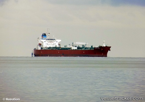
Vessel profile: Silver Emily is a Chemical Oil Products Tanker with dimensions 183m x 32m.
This page combines live AIS, route history, probable destination signals, nearby traffic, and port activity for practical vessel monitoring.
The current position of vessel Silver Emily is -52.65892 lat / -67.91896 lng. Updated: 2026-05-24 19:23:25 UTCNearest reference points:
- 13 nm NW of Rio Cullen
- 46 nm SW of Timaukel
- 66 nm E of Puerto Williams
Currently sailing under the flag of Marshall Is ![]()
Details:
Live Vessel Silver Emily Analytics (details, animations, etc.)
Recent AIS points (UTC):
2026-05-24 16:11:26 UTC · -52.65968, -67.91967 · SOG 0.1 kn · COG 92°2026-05-24 17:38:24 UTC · -52.65927, -67.91944 · SOG 0.1 kn · COG 91°
2026-05-24 19:11:24 UTC · -52.65894, -67.91885 · SOG 0 kn · COG 113°
2026-05-24 19:23:25 UTC · -52.65892, -67.91896 · SOG 0 kn · COG 114°