 Sti Lombard
Current Status
Where is the vessel?
Sti Lombard is currently in Near Milazzo, based on AIS data received about 14h ago.
Latest AIS update:
Current position: 38.21164° N, 15.27026° E (Near Milazzo)
Average speed (last 7 days): Loading…
Average speed (last 30 days): Loading…
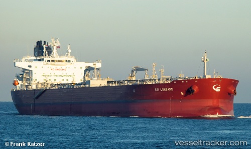
Vessel profile: Sti Lombard is a Crude Oil Tanker with dimensions 256m x 43m.
This page combines live AIS, route history, probable destination signals, nearby traffic, and port activity for practical vessel monitoring.
The current position of vessel Sti Lombard is 38.21164 lat / 15.27026 lng. Updated: 2026-07-05 04:33:13 UTCNearest reference points:
- Near Milazzo
- 13 nm N of Rometta Marea
- Near TREMESTIERI
Currently sailing under the flag of Marshall Is ![]()
Details:
Live Vessel Sti Lombard Analytics (details, animations, etc.)
Recent AIS points (UTC):
2026-07-05 01:42:13 UTC · 38.21167, 15.27025 · SOG 0.1 kn · COG 11°2026-07-05 02:03:13 UTC · 38.21160, 15.27030 · SOG 0.1 kn · COG 11°
2026-07-05 04:00:13 UTC · 38.21164, 15.27024 · SOG 0 kn · COG 11°
2026-07-05 04:33:13 UTC · 38.21164, 15.27026 · SOG 0 kn · COG 11°