 MAI TAI
Current Status
Where is the vessel?
MAI TAI is currently in 112 nm NE of Barcarena, based on AIS data received about 15h ago.
Latest AIS update:
Current position: 1.17465° N, 46.53209° W (112 nm NE of Barcarena)
Average speed (last 7 days): Loading…
Average speed (last 30 days): Loading…
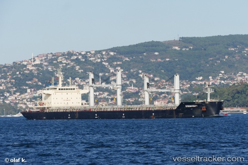
Vessel profile: MAI TAI is a Bulk Carrier with dimensions 179m x 32m.
This page combines live AIS, route history, probable destination signals, nearby traffic, and port activity for practical vessel monitoring.
The current position of vessel MAI TAI is 1.17465 lat / -46.53209 lng. Updated: 2026-06-27 02:06:35 UTCCurrently sailing under the flag of Liberia ![]()
MAI TAI built in 2015 year
Deadweight:
38792 tDetails:
Live Vessel MAI TAI Analytics (details, animations, etc.)
Recent AIS points (UTC):
2026-06-26 23:19:56 UTC · 1.57333, -46.14500 · SOG 12 kn · COG -1°2026-06-26 23:39:27 UTC · 1.52402, -46.17850 · SOG 12 kn · COG 210°
2026-06-27 01:13:56 UTC · 1.29833, -46.40667 · SOG 11 kn · COG -1°
2026-06-27 02:06:35 UTC · 1.17465, -46.53209 · SOG 12.2 kn · COG 219°