 vesseltracker.com
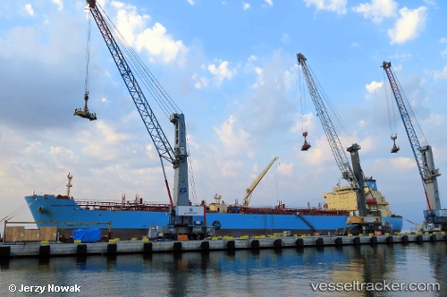
Maersk Teesport
Current StatusWhere is the vessel?
Maersk Teesport is currently in Near Topolobampo, based on AIS data received about 14h ago.
Latest AIS update:
Current position: 25.59793° N, 109.04363° W (Near Topolobampo)
Average speed (last 7 days): Loading…
Average speed (last 30 days): Loading…
Vessel profile: Maersk Teesport is a Chemical Oil Products Tanker with dimensions 32m x 183m.
This page combines live AIS, route history, probable destination signals, nearby traffic, and port activity for practical vessel monitoring.
The current position of vessel Maersk Teesport is 25.59793 lat / -109.04363 lng. Updated: 2026-05-17 21:55:46 UTCNearest reference points:
- Near LA PAZ
Details:
Live Vessel Maersk Teesport Analytics (details, animations, etc.)
Recent AIS points (UTC):
2026-05-17 17:46:46 UTC · 25.59794, -109.04367 · SOG 0 kn · COG 85°2026-05-17 19:13:47 UTC · 25.59792, -109.04364 · SOG 0 kn · COG 85°
2026-05-17 19:37:46 UTC · 25.59789, -109.04363 · SOG 0.1 kn · COG 85°
2026-05-17 21:55:46 UTC · 25.59793, -109.04363 · SOG 0 kn · COG 85°