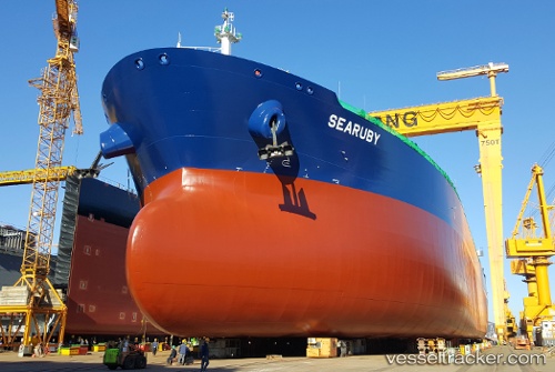
Searuby
Current StatusWhere is the vessel?
Searuby is currently in 60 nm NE of ISLA MUJERES, based on AIS data received about 14h ago.
Latest AIS update:
Current position: 22.11390° N, 86.21923° W (60 nm NE of ISLA MUJERES)
Average speed (last 7 days): Loading…
Average speed (last 30 days): Loading…
Vessel profile: Searuby is a Crude Oil Tanker with dimensions 44m x 250m.
This page combines live AIS, route history, probable destination signals, nearby traffic, and port activity for practical vessel monitoring.
The current position of vessel Searuby is 22.11390 lat / -86.21923 lng. Updated: 2026-06-05 02:18:11 UTCNearest reference points:
- Near Puerto Juárez
- 58 nm S of San Julian
Details:
Live Vessel Searuby Analytics (details, animations, etc.)
Recent AIS points (UTC):
2026-06-04 22:37:02 UTC · 21.44667, -85.70667 · SOG 12 kn · COG -1°2026-06-05 00:19:51 UTC · 21.68106, -86.01538 · SOG 13.6 kn · COG -1°
2026-06-05 01:31:02 UTC · 21.93667, -86.13833 · SOG 14 kn · COG -1°
2026-06-05 02:18:11 UTC · 22.11390, -86.21923 · SOG 14.6 kn · COG -1°