 vesseltracker.com
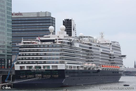
 Nieuw Statendam
Current Status
Where is the vessel?
Nieuw Statendam is currently in 37 nm N of Lachassagne, based on AIS data received about 1h ago.
Latest AIS update:
Current position: 57.51557° N, 5.08644° E (37 nm N of Lachassagne)
Average speed (last 7 days): Loading…
Average speed (last 30 days): Loading…
Vessel profile: Nieuw Statendam is a Cruise Ship with dimensions 299m x 40m.
This page combines live AIS, route history, probable destination signals, nearby traffic, and port activity for practical vessel monitoring.
The current position of vessel Nieuw Statendam is 57.51557 lat / 5.08644 lng. Updated: 2026-05-17 11:44:08 UTCNearest reference points:
- Near Egersund
- Near Lura
- Near Åna-Sira
Currently sailing under the flag of Netherlands ![]()
Details:
Live Vessel Nieuw Statendam Analytics (details, animations, etc.)
Recent AIS points (UTC):
2026-05-17 08:13:39 UTC · 56.53667, 5.54667 · SOG 18 kn · COG -1°2026-05-17 10:09:56 UTC · 57.07863, 5.32447 · SOG 17.3 kn · COG 342°
2026-05-17 10:53:47 UTC · 57.27731, 5.20650 · SOG 17.4 kn · COG 342°
2026-05-17 11:44:08 UTC · 57.51557, 5.08644 · SOG 17.9 kn · COG 341°