 Sea Amber
Current Status
Where is the vessel?
Sea Amber is currently in Near Bozcaada, based on AIS data received about 14h ago.
Latest AIS update:
Current position: 39.83565° N, 25.89477° E (Near Bozcaada)
Average speed (last 7 days): Loading…
Average speed (last 30 days): Loading…
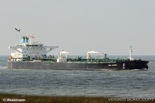
Vessel profile: Sea Amber is a Crude Oil Tanker with dimensions 274m x 48m.
This page combines live AIS, route history, probable destination signals, nearby traffic, and port activity for practical vessel monitoring.
The current position of vessel Sea Amber is 39.83565 lat / 25.89477 lng. Updated: 2026-07-05 02:30:52 UTCNearest reference points:
- 14 nm SW of Bozcaada
- Near Bozcaada
- 14 nm NW of Baba Point
Currently sailing under the flag of Greece ![]()
Details:
Live Vessel Sea Amber Analytics (details, animations, etc.)
Recent AIS points (UTC):
2026-07-04 22:38:01 UTC · 39.72665, 25.80295 · SOG 12 kn · COG 25°2026-07-05 00:15:42 UTC · 39.83609, 25.89439 · SOG 0.1 kn · COG -1°
2026-07-05 02:12:52 UTC · 39.83578, 25.89466 · SOG 0 kn · COG 48°
2026-07-05 02:30:52 UTC · 39.83565, 25.89477 · SOG 0 kn · COG 46°