 vesseltracker.com
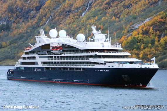
 Le Champlain
Current Status
Where is the vessel?
Le Champlain is currently in Near Lisboa, based on AIS data received less than 1h ago.
Latest AIS update:
Current position: 38.70115° N, 9.16159° W (Near Lisboa)
Average speed (last 7 days): Loading…
Average speed (last 30 days): Loading…
Vessel profile: Le Champlain is a Cruise Ship with dimensions 131m x 18m.
This page combines live AIS, route history, probable destination signals, nearby traffic, and port activity for practical vessel monitoring.
The current position of vessel Le Champlain is 38.70115 lat / -9.16159 lng. Updated: 2026-05-15 21:24:41 UTCNearest reference points:
- Near Lisboa
- Near COVA DA PIEDADE
- Near Memória
Currently sailing under the flag of Wallis Futuna Is ![]()
Details:
Live Vessel Le Champlain Analytics (details, animations, etc.)
Recent AIS points (UTC):
2026-05-15 17:33:41 UTC · 38.70115, -9.16159 · SOG 0 kn · COG 257°2026-05-15 19:26:02 UTC · 38.70114, -9.16159 · SOG 0 kn · COG -1°
2026-05-15 19:57:44 UTC · 38.70114, -9.16159 · SOG 0 kn · COG 257°
2026-05-15 21:24:41 UTC · 38.70115, -9.16159 · SOG 0 kn · COG 257°