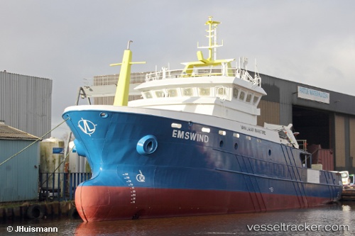
 Ems Wind
Current Status
Where is the vessel?
Ems Wind is currently in 24 nm N of Town Quays/Drogheda, based on AIS data received about 14h ago.
Latest AIS update:
Current position: 54.09710° N, 6.15410° E (24 nm N of Town Quays/Drogheda)
Average speed (last 7 days): Loading…
Average speed (last 30 days): Loading…
Vessel profile: Ems Wind is a Utility Vessel with dimensions 39m x 39m.
This page combines live AIS, route history, probable destination signals, nearby traffic, and port activity for practical vessel monitoring.
The current position of vessel Ems Wind is 54.09710 lat / 6.15410 lng. Updated: 2026-05-20 02:05:22 UTCNearest reference points:
- 14 nm NW of Town Quays/Drogheda
- Near Borkum
- Near Hoogkerk
Currently sailing under the flag of Bahamas ![]()
Details:
Live Vessel Ems Wind Analytics (details, animations, etc.)
Recent AIS points (UTC):
2026-05-19 22:46:33 UTC · 54.09167, 6.15833 · SOG 0 kn · COG -1°2026-05-19 23:55:30 UTC · 54.09167, 6.17333 · SOG 2 kn · COG -1°
2026-05-20 00:59:55 UTC · 54.10293, 6.17729 · SOG 1 kn · COG -1°
2026-05-20 02:05:22 UTC · 54.09710, 6.15410 · SOG 0.9 kn · COG 194°