 SAADET
Current Status
Where is the vessel?
SAADET is currently in 18 nm S of Bangor, based on AIS data received about 15h ago.
Latest AIS update:
Current position: 47.01365° N, 3.23737° W (18 nm S of Bangor)
Average speed (last 7 days): Loading…
Average speed (last 30 days): Loading…
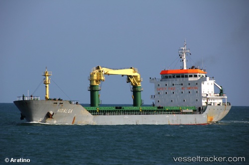
Vessel profile: SAADET is a General Cargo Ship with dimensions 140m x 20m.
This page combines live AIS, route history, probable destination signals, nearby traffic, and port activity for practical vessel monitoring.
The current position of vessel SAADET is 47.01365 lat / -3.23737 lng. Updated: 2026-05-18 21:25:30 UTCNearest reference points:
- Near QUIBERON
- Near Saint-Pierre-Quiberon
- Near La Trinité-sur-Mer
Currently sailing under the flag of Malta ![]()
SAADET built in 2009 year
Deadweight:
12223 tDetails:
Live Vessel SAADET Analytics (details, animations, etc.)
Recent AIS points (UTC):
2026-05-18 17:59:00 UTC · 47.41108, -3.80412 · SOG 10 kn · COG 209°2026-05-18 19:39:41 UTC · 47.20640, -3.57208 · SOG 10.3 kn · COG 133°
2026-05-18 20:00:11 UTC · 47.16874, -3.50693 · SOG 10.4 kn · COG 133°
2026-05-18 21:25:30 UTC · 47.01365, -3.23737 · SOG 10 kn · COG 134°