 Contship Top
Current Status
Where is the vessel?
Contship Top is currently in Near Grangemouth, based on AIS data received about 14h ago.
Latest AIS update:
Current position: 56.02445° N, 3.69958° W (Near Grangemouth)
Average speed (last 7 days): Loading…
Average speed (last 30 days): Loading…
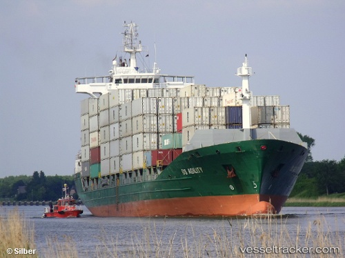
Vessel profile: Contship Top is a Container Ship with dimensions 148m x 24m.
This page combines live AIS, route history, probable destination signals, nearby traffic, and port activity for practical vessel monitoring.
The current position of vessel Contship Top is 56.02445 lat / -3.69958 lng. Updated: 2026-05-19 12:23:41 UTCNearest reference points:
- Near Leith
- Near BROUGHTY FERRY
- Near Greenock
Currently sailing under the flag of Liberia ![]()
Contship Top built in 2008 year
Deadweight:
13856 tDetails:
Live Vessel Contship Top Analytics (details, animations, etc.)
Recent AIS points (UTC):
2026-05-19 07:50:40 UTC · 56.02443, -3.69961 · SOG 0 kn · COG 60°2026-05-19 10:14:41 UTC · 56.02444, -3.69954 · SOG 0 kn · COG 60°
2026-05-19 10:59:40 UTC · 56.02443, -3.69964 · SOG 0 kn · COG 60°
2026-05-19 12:23:41 UTC · 56.02445, -3.69958 · SOG 0 kn · COG 59°