 vesseltracker.com
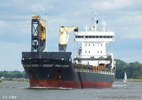
 AL LUQTA
Current Status
Where is the vessel?
AL LUQTA is currently in Near YALOVA, based on AIS data received about 14h ago.
Latest AIS update:
Current position: 40.72877° N, 29.49967° E (Near YALOVA)
Average speed (last 7 days): Loading…
Average speed (last 30 days): Loading…
Vessel profile: AL LUQTA is a General Cargo Ship with dimensions 18m x 145m.
This page combines live AIS, route history, probable destination signals, nearby traffic, and port activity for practical vessel monitoring.
The current position of vessel AL LUQTA is 40.72877 lat / 29.49967 lng. Updated: 2026-05-18 07:18:02 UTCNearest reference points:
- Near YALOVA
- Near Yilport
- Near Diliskelesi
Currently sailing under the flag of Panama ![]()
AL LUQTA built in 2004 year
Deadweight:
10584 tDetails:
Live Vessel AL LUQTA Analytics (details, animations, etc.)
Recent AIS points (UTC):
2026-05-18 03:51:02 UTC · 40.72873, 29.49965 · SOG 0 kn · COG 359°2026-05-18 04:12:03 UTC · 40.72882, 29.49960 · SOG 0 kn · COG 359°
2026-05-18 05:54:01 UTC · 40.72875, 29.49966 · SOG 0 kn · COG 359°
2026-05-18 07:18:02 UTC · 40.72877, 29.49967 · SOG 0 kn · COG 359°