 KINYRAS
Current Status
Where is the vessel?
KINYRAS is currently in 13 nm W of Galle, based on AIS data received about 14h ago.
Latest AIS update:
Current position: 5.94755° N, 80.01833° E (13 nm W of Galle)
Average speed (last 7 days): Loading…
Average speed (last 30 days): Loading…
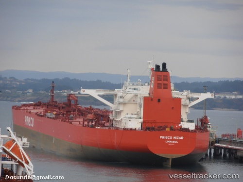
Vessel profile: KINYRAS is a Crude Oil Tanker with dimensions 51m x 285m.
This page combines live AIS, route history, probable destination signals, nearby traffic, and port activity for practical vessel monitoring.
The current position of vessel KINYRAS is 5.94755 lat / 80.01833 lng. Updated: 2026-05-23 19:59:23 UTCNearest reference points:
- 19 nm SW of Bataduwa
- 15 nm S of Koggala
- 38 nm SW of Galle
Currently sailing under the flag of Liberia ![]()
KINYRAS built in 2007 year
Deadweight:
166468 tDetails:
Live Vessel KINYRAS Analytics (details, animations, etc.)
Recent AIS points (UTC):
2026-05-23 16:26:23 UTC · 5.94733, 80.01843 · SOG 0.3 kn · COG 324°2026-05-23 18:17:23 UTC · 5.94734, 80.01828 · SOG 0.3 kn · COG 329°
2026-05-23 19:08:23 UTC · 5.94752, 80.01837 · SOG 0.1 kn · COG 324°
2026-05-23 19:59:23 UTC · 5.94755, 80.01833 · SOG 0 kn · COG 329°