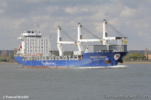
 BBC RAISE
Current Status
Where is the vessel?
BBC RAISE is currently in Near Argentia, based on AIS data received about 15h ago.
Latest AIS update:
Current position: 47.29333° N, 53.98333° W (Near Argentia)
Average speed (last 7 days): Loading…
Average speed (last 30 days): Loading…
Vessel profile: BBC RAISE is a General Cargo Ship with dimensions 162m x 162m.
This page combines live AIS, route history, probable destination signals, nearby traffic, and port activity for practical vessel monitoring.
The current position of vessel BBC RAISE is 47.29333 lat / -53.98333 lng. Updated: 2026-06-04 18:03:14 UTCNearest reference points:
- Near Argentia
- 17 nm NE of Marystown
- Near St. John’S
Currently sailing under the flag of Antigua and Barbuda ![]()
BBC RAISE built in 2011 year
Deadweight:
17884 tDetails:
Live Vessel BBC RAISE Analytics (details, animations, etc.)
Recent AIS points (UTC):
2026-06-04 14:27:10 UTC · 47.29333, -53.98500 · SOG 0 kn · COG -1°2026-06-04 15:21:13 UTC · 47.29333, -53.98500 · SOG 0 kn · COG -1°
2026-06-04 17:21:13 UTC · 47.29333, -53.98500 · SOG 0 kn · COG -1°
2026-06-04 18:03:14 UTC · 47.29333, -53.98333 · SOG 0 kn · COG -1°